
File:Barrandov Studios 2019.jpg

Size of this preview: 761 × 599 pixels. Other resolutions: 305 × 240 pixels | 610 × 480 pixels | 975 × 768 pixels | 1,280 × 1,008 pixels | 2,560 × 2,016 pixels | 11,890 × 9,364 pixels.
Original file (11,890 × 9,364 pixels, file size: 12.16 MB, MIME type: image/jpeg)
| This is a file from the Wikimedia Commons. Information from its description page there is shown below. Commons is a freely licensed media file repository. You can help. |
Summary
| Warning | The original file is very high-resolution. It might not load properly or could cause your browser to freeze when opened at full size. |
|---|
| Description |
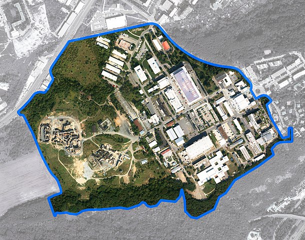
English: Area of Barrandov Studios plotted in aerial map captured in August 2019 |
| Date | |
| Source |
1: Plotted area of interest to orthophoto.
2: Datová sada pořízená Institutem plánování a rozvoje hl. m. Prahy. F7FDCA64-ABCF-4252-85B6-0EF42A027AD3 https://www.geoportalpraha.cz/
|
| Author |
1: myself, Robinlight, user of Wikimedia Commons
2: Institut plánování a rozvoje hl. m. Prahy Hříbal Vojtěch Vyšehradská 57/2077 Praha 12800
|
| Camera location | | View this and other nearby images on: OpenStreetMap |
|---|
Licensing
This file is licensed under the Creative Commons Attribution-Share Alike 4.0 International license.
- You are free:
- to share – to copy, distribute and transmit the work
- to remix – to adapt the work
- Under the following conditions:
- attribution – You must give appropriate credit, provide a link to the license, and indicate if changes were made. You may do so in any reasonable manner, but not in any way that suggests the licensor endorses you or your use.
- share alike – If you remix, transform, or build upon the material, you must distribute your contributions under the same or compatible license as the original.
File history
Click on a date/time to view the file as it appeared at that time.
| Date/Time | Thumbnail | Dimensions | User | Comment | |
|---|---|---|---|---|---|
| current | 12:08, 21 August 2020 | | 11,890 × 9,364 (12.16 MB) | Robinlight | Uploaded a work by 1: myself, Robinlight, user of Wikimedia Commons :1 2: Institut plánování a rozvoje hl. m. Prahy Hříbal Vojtěch Vyšehradská 57/2077 Praha 12800 :2 from 1: Plotted area of interest to orthophoto. :1 2: Datová sada pořízená Institutem plánování a rozvoje hl. m. Prahy. F7FDCA64-ABCF-4252-85B6-0EF42A027AD3 https://www.geoportalpraha.cz/ :2 with UploadWizard |
File usage
The following pages on the English Wikipedia use this file (pages on other projects are not listed):
Global file usage
The following other wikis use this file:
- Usage on cs.wikipedia.org
- Usage on es.wikipedia.org
- Usage on sk.wikipedia.org